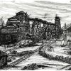


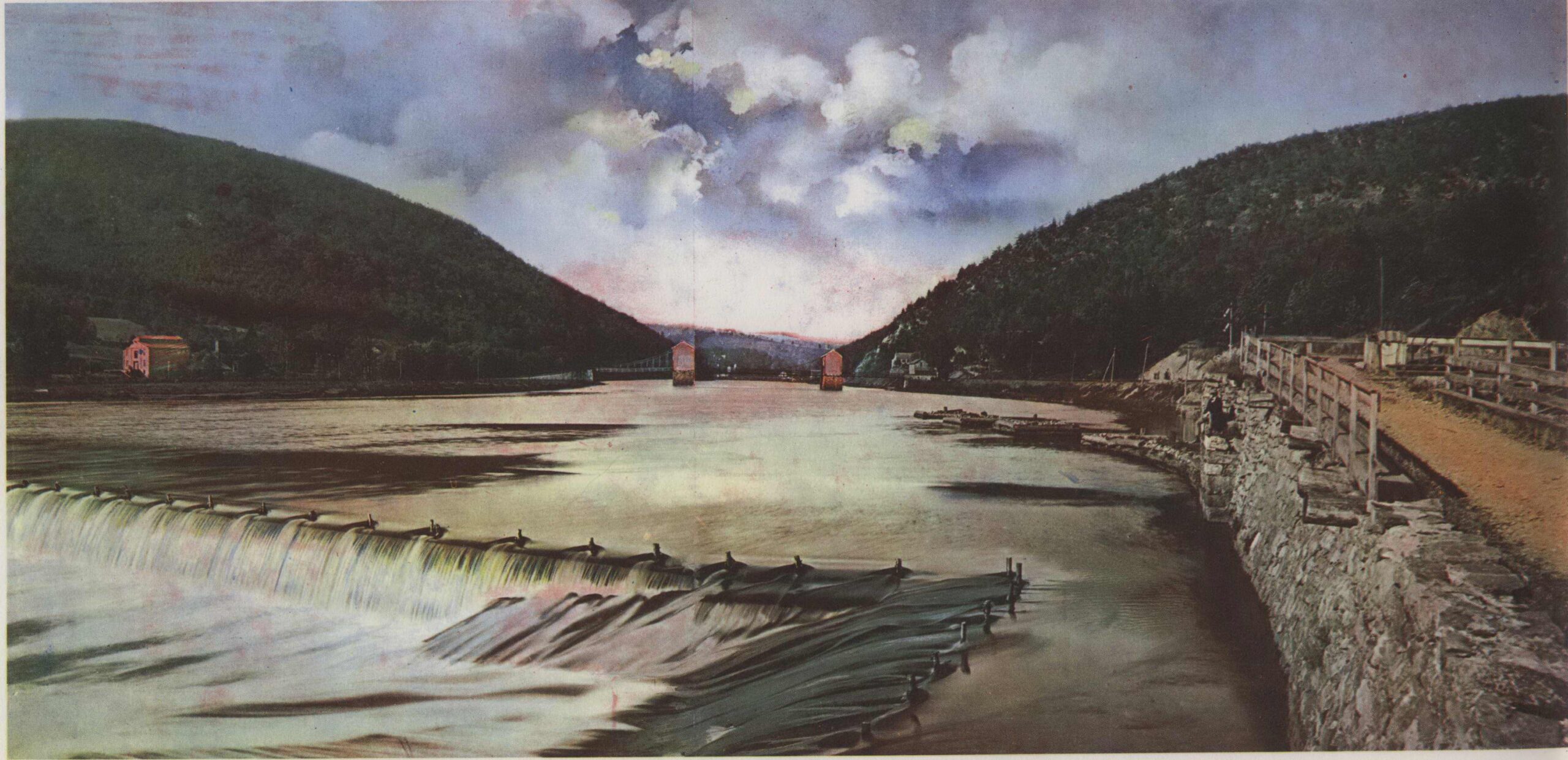
Manmade and natural wonders at Lehigh Gap, painted from image circa 1900-1910
The History of the Lehigh Gap
Written by Wendi Blewett, DLNHC Museum Collections Manager
There are many fascinating geological features in the Delaware & Lehigh National Heritage Corridor, but you don’t need to be a geologist to appreciate them! Every time you walk on the D&L Trail, you are walking on something only made possible because of one of those geological features. The D&L Trail roughly follows the towpaths of the Lehigh and Delaware Canals, waterway transportation systems built to carry coal from coal fields in the anthracite region to market in major cities. Anthracite coal exists in this region because of the mountain building events that also gave us the Appalachian Mountain range. If you’re walking near Lehigh Gap, you’re walking through yet another fascinating geological feature – a water gap!
Lehigh Gap is a water gap located at the junction of four townships (and three counties): 1) Lehigh Township, Northampton County, to the southeast; 2) Washington Township, Lehigh County, to the southwest; 3) East Penn Township, Carbon County, to the northwest, and 4) Lower Towamensing Township, Carbon County, to the northeast. The gap was created by the Lehigh River cutting through the Appalachian Mountain range. A water gap is usually indicative of a river that is older than its current topography, meaning the river existed before the mountain range did, so as the mountain grew, the flowing water eroded any land growth before it accumulated. Lehigh Gap is part of Kittatinny Ridge, a 250-mile-long ridge that extends from New York State to northern Maryland. In Pennsylvania, the ridge is also called Kittatinny Mountain or Blue Mountain.
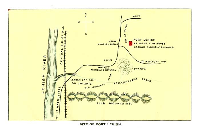
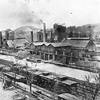
Map of Fort Lehigh from http://www.usgwarchives.net/pa/1pa/1picts/frontierforts/lehigh156copy.jpg
There are hundreds of water gaps along this section of the Appalachian Mountains. In 1930 Karl Ver Steeg researched these gaps and identified 34 major water gaps in the Northern Appalachians, but we are most familiar with the water gaps created by the Delaware River, Lehigh River, Schuylkill River, Susquehanna River, and/or Juniata River. Wind gaps are also very prevalent throughout this section of the range and were created in the same fashion as water gaps, but by ancient rivers that no longer exist along the same path.
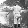
Gaps like these provided a path through the Appalachian Mountains for migrating animals and the humans that hunted them. Lehigh Gap became a location on the Nescopeck Path, a Native American transportation route that spanned from Nescopeck Falls to modern-day Bethlehem. In the mid 1700s Lehigh Gap had two military defenses to its north and south: Fort Lehigh, just north of Lehigh Gap in what is now Palmerton, and the Fort at Trucker’s Mill, or Kern’s Fort, which was located in modern-day Slatington. The Lehigh and Susquehanna Turnpike, also known as the Lausanne-Nescopeck Turnpike, also funneled wagon traffic through the gap. This road was commissioned in the 1780s and generally followed the Lenape Nescopeck Path. Following the discovery of anthracite coal in the 1790s, the gap became integral. Coal was abundant to the west and north of Kittatinny Ridge, but the ridge itself was a huge barrier in the mine-to-market transportation route, as the end goal was getting coal to locations further east and south. Lehigh Gap became a conduit for coal via water routes and later railroads. 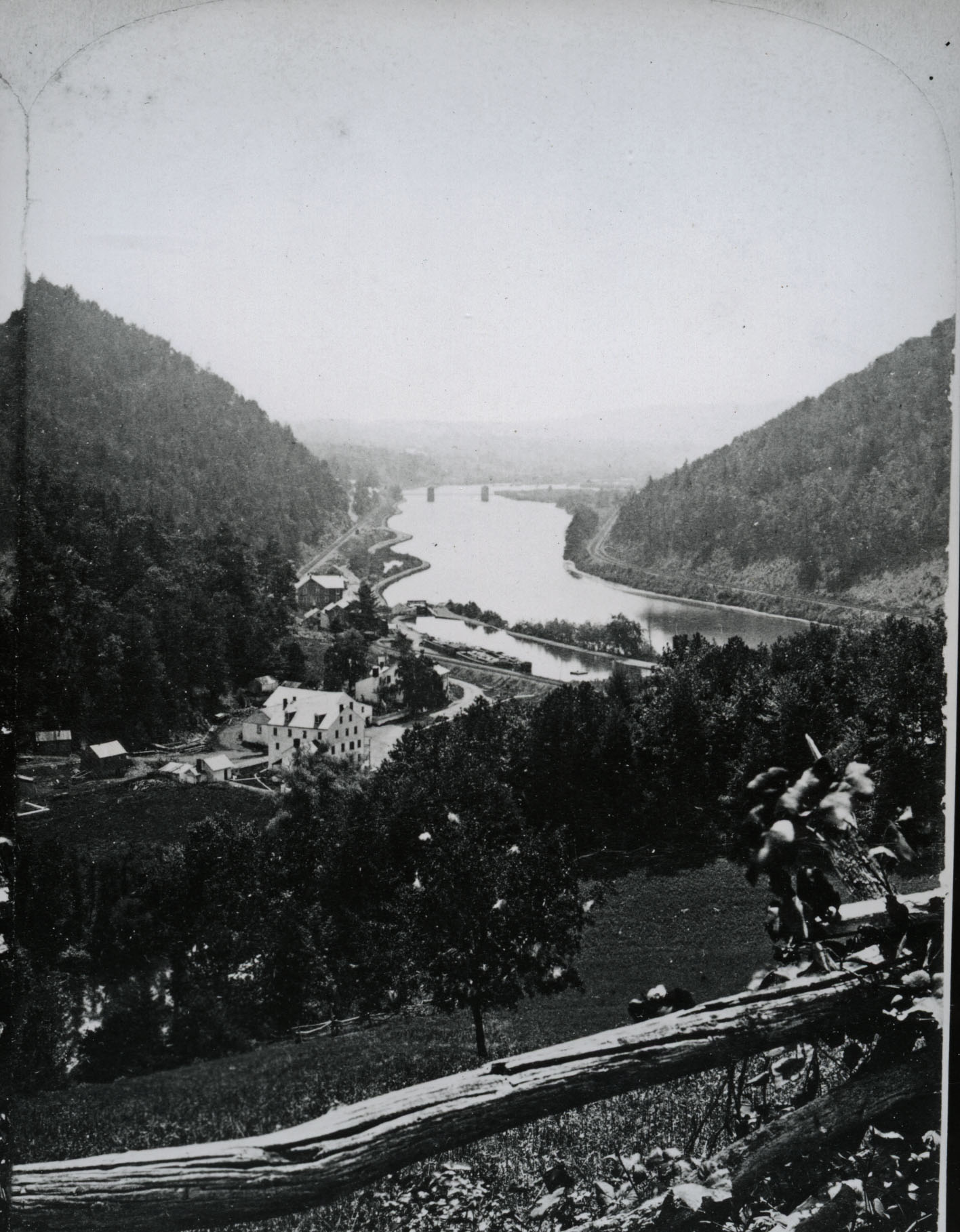
Lehigh Gap was also significant for agriculture and industry. The fertile lower slopes were cleared for farming, and the steep upper slopes were rich with lumber, which was logged for shipbuilding, leather tanning, and to be used in the production of charcoal. Sandstone and ‘paint ore’ from the ridge were used as natural pigmentation for paint. There were many paint mills in the area around Lehigh Gap, including the Iron-Ore Metallic Paint Company and later, the Prince Metallic Paint Company. The paint ore resembled blue limestone, and a partial analysis of the ore from the Prince Metallic Paint Company showed significant amounts of metallic iron, silica, and carbon dioxide. It was also described as pyritic. The first cement mill in the region was built at Lehigh Gap after a pocket of cement rock was discovered nearby. Hydraulic cement was manufactured here from 1826 to 1830, but after resources became depleted, production moved to Siegfried’s. Four kilns built against the bank of the Lehigh Canal remained after the mill was abandoned but were destroyed in the flood of 1841. This cement was essential in repairing leaks in the Lehigh Canal.
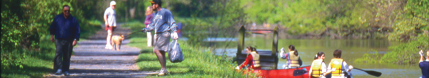
The landscape of Lehigh Gap also made it a prime vacation destination and industrial site. This unfortunately led to the degradation and destruction of the environment there, but over the past 40 years efforts have been made to revive the area there and encourage the re-establishment of flora and fauna. A future blog will go into detail about the effects of human activity at the gap, both negative and positive.

Join the Conversation!