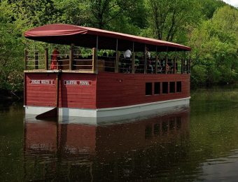


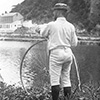


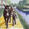

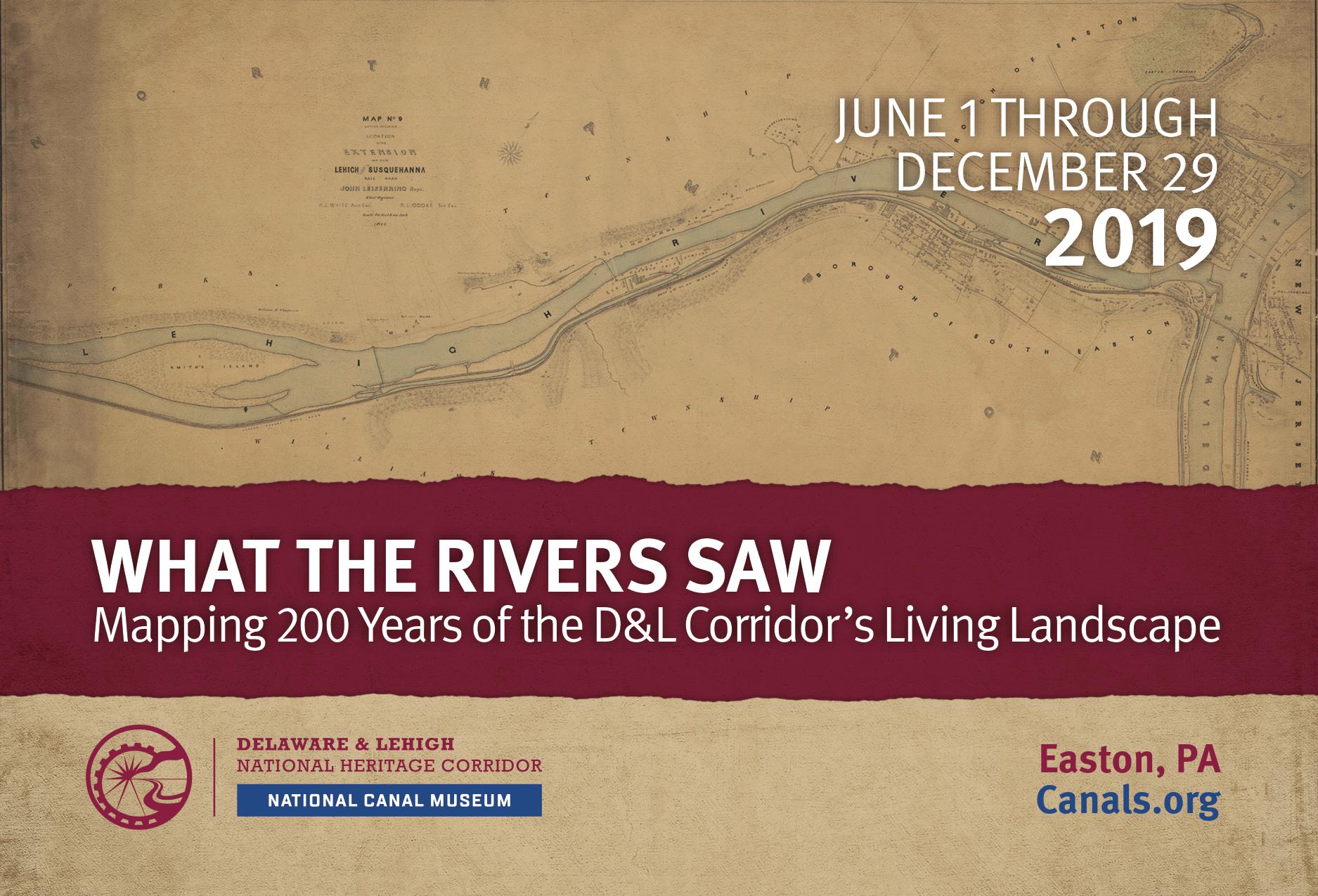
For centuries, the Lehigh and the Delaware Rivers have shaped the lives of the people living on their banks and been shaped by those people. What the Rivers Saw: Mapping 200 Years of the D&L Corridor’s Living Landscape explores the changes in landscape and development within the Delaware & Lehigh National Heritage Corridor. The story of the region’s transformation is told through a focus on three remarkable areas along the Lehigh and Delaware Rivers:
- Lehigh Tannery, a major 19th century industrial site on the upper Lehigh that was destroyed by unsustainable logging and has since been reclaimed by nature
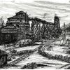
- South Bethlehem, which evolved rapidly from Moravian farmland to a crowded industrial and immigrant community in the 19th and early 20th centuries
- Falls Township, Bucks County, which made an abrupt shift from agriculture to heavy industry and suburban sprawl with the founding of Fairless Steel Works in the early 1950s; the industrial site has struggled to recover from the plant’s demise in the 1990s.
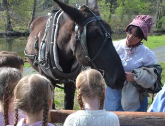
Historic and modern maps, historic photographs, 20th century aerial photography, and current satellite imaging will allow visitors to see and learn how the rivers and these communities affected each other as they progressed through the past two hundred years. Artifacts on display will include some early surveying tools from the Museum’s collection and some items from everyday life in each of the three areas. Touch-screen computer kiosks will offer visitors the opportunity to interact with historical and modern maps, including a “story map” developed in conjunction with Lehigh University that traces the growth of the community of South Bethlehem during the late 19th and early 20th centuries and its variety of ethnic churches and neighborhoods.

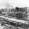
Aerial view of South Bethlehem circa 1969
“What The Rivers Saw is a rare opportunity to display two very important historic hand-drawn maps from our collection,” said Martha Capwell Fox, Historian and Archivist for the Delaware & Lehigh National Heritage Corridor. “Both are by surveyor and engineer Isaac Chapman. First, the Lehigh River from Mauch Chunk to Allentown, which was drawn as preparation for the construction for the two-way Lehigh Navigation that allowed boats to deliver anthracite to Philadelphia and then return back up to the coal regions. This map is an especially valuable source of information about the Lehigh before the Lehigh Coal & Navigation’s dams were built. The second Chapman map is of the Delaware River from Easton to the falls just above Trenton, and also provides an early and detailed record of the river.”
What the Rivers Saw is on display June 1 through December 29, 2019. Support for the exhibition was received from the County of Northampton’s Hotel Tax Program, the Pennsylvania Historical and Museum Commission, and the William Penn Foundation.